Western Region
DEATH VALLEY NATIONAL PARK
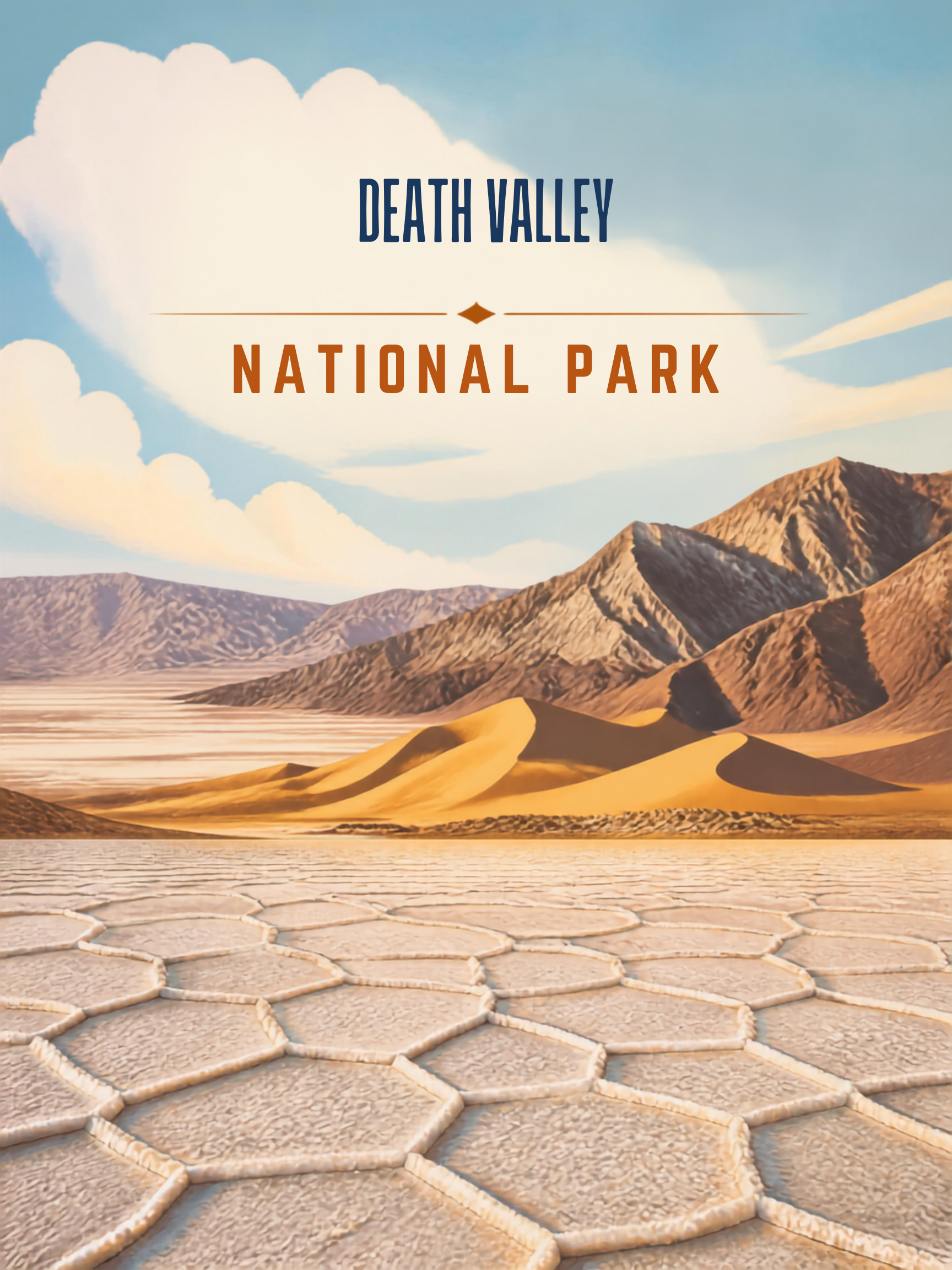
Welcome to Death Valley National Park, an extraordinary and extreme landscape spanning eastern California and western Nevada. Famous for being the hottest, driest, and lowest national park in the United States, Death Valley feels almost alien with its vast salt flats, colorful badlands, sand dunes, and rugged mountain ranges stretch as far as the eye can see. It is a place of stark beauty, silence, and raw geology, where preparation and respect are as important as curiosity.

Did You Know?
- Death Valley holds the record for the highest air temperature reliably recorded on Earth: 134°F (56.7°C) at Furnace Creek in 1913.
- Badwater Basin sits approximately 282 feet below sea level, making it the lowest point in North America.
- Despite its name, Death Valley supports a surprising variety of plants and animals.
- Death Valley National Park is the largest national park in the contiguous United States, protecting more than 3.4 million acres.

My Personal Experience
My first visit to Death Valley came the day after a stay in Las Vegas, and the contrast could not have been greater. I immediately appreciated the silence and sense of isolation. Once you step out of the car, you understand very quickly why it’s called Death Valley. It was brutally hot. I won’t even joke about it being a “dry heat.” Carry water and drink it like your life depends on it because it does.
You also need to keep an eye on your vehicle. I paid close attention to my engine temperature, especially knowing that people regularly underestimate the heat and end up stranded. I visited Badwater Basin, the lowest point in North America at nearly 300 feet below sea level, and explored Scotty’s Castle.
On a later visit, I stayed just outside the park in the small town of Beatty, Nevada. Don’t be surprised if you hear German spoken there not just by tourists, but by engineers. German car manufacturers regularly test prototype vehicles in the desert near Beatty, and with a bit of luck you might spot a camouflaged car years before its official release.
A hike through Golden Canyon, about three miles round trip, is absolutely worth it. You get striking rock formations and a real desert hiking experience while still staying relatively close to your car. Again: bring water and keep an eye out for rattlesnakes. The National Park Service calls Death Valley the hottest, driest, and lowest park for a reason.
Basic Facts
Address:
Death Valley National Park
Highway 190
Death Valley, CA 92328
Operation Hours and Seasons:
The park is open 24 hours a day, year-round. Visitor centers have seasonal hours.
Visitors:
Approximately 1.7 million per year (2022)
Entrance Fees:
- Private Vehicle – $30.00 admits one private, non-commercial vehicle and all its occupants for 7 days
- Per Person – $15.00
Website:
nps.gov/deva
Map:
nps.gov/deva/planyourvisit/maps.htm
Additional Information:
For additional local information, visit deathvalley.com.
Important Note:
Due to extreme temperatures, it’s crucial to be well-prepared and plan your visit carefully. Always check the park’s website for current conditions and advisories.
Best Time to Visit
Winter is the most comfortable season and the best time for most visitors. Daytime temperatures are pleasant, making hiking and sightseeing enjoyable. Spring is another excellent season. Temperatures remain manageable, and after wet winters, spectacular wildflower blooms can occur across portions of the park. Temperatures begin to moderate in fall after the extreme summer heat, and visitor numbers are generally lower than in spring.
Summer, however, is a season that demands caution and preparation. Temperatures frequently exceed 110°F, and outdoor activities should be carefully planned around the heat.

Recommended Time
1 Day: Visit Badwater Basin, Artists Drive, Zabriskie Point, Mesquite Flat Sand Dunes, and enjoy sunset from Dante’s View.
2-3 Days: Ideal for most visitors. Add Golden Canyon, Mosaic Canyon, Scotty’s Castle area (when accessible), and several additional viewpoints.
Getting There
The closest major city is Las Vegas, Nevada. From Las Vegas, drive west on US-95, then south on NV-373 to reach the eastern entrances of the park. Death Valley is vast, and driving distances inside the park are significant. Plan fuel stops carefully.
Weather
Death Valley’s climate is extreme and can be dangerous without proper preparation:
- Spring (Mar–May): 70s to 90s °F (21–37 °C). One of the best seasons to visit; wildflowers may bloom after wet winters.
- Summer (Jun–Aug): Highs regularly exceed 110°F (43°C) and can approach 130°F (54°C). Outdoor activity during the day is strongly discouraged.
- Fall (Sep–Nov): 70s to 90s °F (21–37 °C). Cooler nights and fewer visitors.
- Winter (Dec–Feb): 60s to 70s °F (15–21 °C). The most comfortable season for exploration, though nights can be cold.
Hiking
Death Valley National Park offers a variety of hiking trails that cater to different skill levels and interests. Elevation matters here. While the valley floor is brutally hot, high-elevation hikes can be surprisingly cool.
Easy:
- Mesquite Flat Sand Dunes – 2 miles round trip: The park’s most accessible dune field and an excellent introduction to Death Valley’s desert environment.
- Salt Creek Interpretive Trail – 0.5 miles boardwalk trail: An easy walk through a rare desert wetland ecosystem where visitors may observe the endangered Death Valley pupfish during certain times of year.
- Badwater Basin – 1 mile round trip: A walk across the salt flats to experience the lowest point in North America. The geometric salt formations and vast surrounding mountains create one of the most unique landscapes in the National Park System.
Moderate:
- Golden Canyon Trail – 3 miles round trip: One of the park’s classic hikes. The trail winds through colorful badlands and narrow canyon walls, showcasing some of Death Valley’s most striking geology.
- Mosaic Canyon Trail – 4 miles round trip: A fascinating hike through polished marble walls, narrow passages, and unique rock formations created by flash floods over thousands of years.
Strenuous:
- Wildrose Peak Trail – 8.4 miles round trip: A mountain hike that offers a completely different perspective of Death Valley. The summit provides outstanding views of the valley and surrounding ranges.
- Telescope Peak Trail – 14 miles round trip: The highest point in the park at 11,049 feet. On clear days, hikers can look from alpine forests down to Badwater Basin nearly two vertical miles below.
Scenic Drives
- Badwater Road: This route takes you to Badwater Basin, the lowest point in North America at 282 feet below sea level.
- Artists Drive: A 9-mile loop showcasing vibrant, multi-colored hills and unique rock formations.
Best Viewpoints
- Dante’s View: One of the most spectacular overlooks in the National Park System. Visitors can view Badwater Basin, the Panamint Mountains, and much of the valley from more than 5,000 feet above the desert floor.
- Zabriskie Point: Perhaps the park’s most famous viewpoint. The colorful badlands and eroded formations create an almost otherworldly landscape.
- Badwater Basin: The lowest point in North America and one of the park’s defining attractions.
- Artists Palette: A unique landscape where mineral deposits have painted the hillsides with shades of green, red, yellow, purple, and blue.
- Mesquite Flat Sand Dunes: One of the most photogenic dune fields in the American Southwest.
Wildlife Viewing
Although Death Valley appears barren at first glance, it supports a remarkable variety of wildlife. Desert bighorn sheep are among the park’s most iconic animals and are often observed in mountainous terrain near water sources. Coyotes, kit foxes, jackrabbits, roadrunners, and numerous reptiles inhabit the desert environment. The park also supports more than 300 bird species throughout the year. Wildlife activity is generally greatest during the cooler morning and evening hours, particularly during winter and spring.
Photography
Death Valley’s photography appeal is defined by scale, color, and texture:
- Salt Flats: The geometric salt formations at Badwater Basin create some of the most distinctive photographic opportunities in North America. Patterns constantly change as weather and moisture alter the surface.
- Color & Geology: Artists Palette, Golden Canyon, Zabriskie Point, and the surrounding badlands showcase an extraordinary range of colors created by mineral deposits and erosion.
- Extreme Contrast: Few places better capture the concept of scale than Death Valley. Vast open spaces, isolated mountain ranges, and dramatic elevation changes create powerful landscape compositions.
- Sand Dunes: Mesquite Flat Sand Dunes provide endless opportunities to photograph texture, shadow, and shape. Wind continually reshapes the dunes, ensuring that no two visits are exactly alike.
- Desert Light: The park’s clear air and low humidity often produce exceptional visibility and dramatic lighting conditions throughout the day.
The park is also a designated International Dark Sky Park, offering exceptional night photography opportunities when temperatures allow.
Horseback Riding
Horseback riding is possible in Death Valley, although the extreme environment makes it far less common than in many other national parks. Visitors bringing horses, mules, or burros must carefully plan for water availability, temperatures, and trail conditions. Most stock use occurs during the cooler months, and many routes require significant experience in remote desert travel.
Regulations exist for those determined to bring horses, mules, or burros. Always consult current NPS regulations before considering stock use. Because of the harsh climate and limited water sources, many visitors choose alternative methods of exploring the park.
General Aviation
While there is an airport within the park at Furnace Creek, the airport in the nearby town of Beatty, Nevada might be the most practical one serving Death Valley. One Jeep Rental inside the park might be the only available rental car option.
Beatty Airport (KBTY) in Beatty, NV:
- Approximately 35 miles from Furnace Creek
- Longest runway: 5,615 feet
- 100LL available
- Lodging and dining available nearby
Furnace Creek Airport (L06) in Death Valley National Park:
- The only airport located within the park.
- Longest runway: 3,040 feet
- Approximately 210 feet below sea level
- No fuel available
- Limited services
- Runway condition should be carefully evaluated before use
Stovepipe Wells Airport (L09):
- A useful alternative for experienced pilots.
- Longest runway: 3,260 feet
- Adjacent to lodging and restaurant facilities
- No fuel available
Death Valley presents some of the most demanding flying conditions in the United States. Extreme temperatures, density altitude, remote locations, and limited services require careful planning. Although Furnace Creek sits below sea level, summer heat can dramatically reduce aircraft performance. Pilots should carefully evaluate runway conditions, fuel availability, and weather forecasts before departure.
Nearby Attractions
- Beatty: A popular gateway community offering lodging, restaurants, and access to the eastern portions of the park.
- Rhyolite Ghost Town: One of the best-preserved ghost towns in the American West.
- Las Vegas: The most common starting point for visitors exploring Death Valley.
- Ash Meadows National Wildlife Refuge: Protects rare desert wetlands and numerous endemic species.
- Red Rock Canyon National Conservation Area: A beautiful desert landscape located just west of Las Vegas.
Important Tips
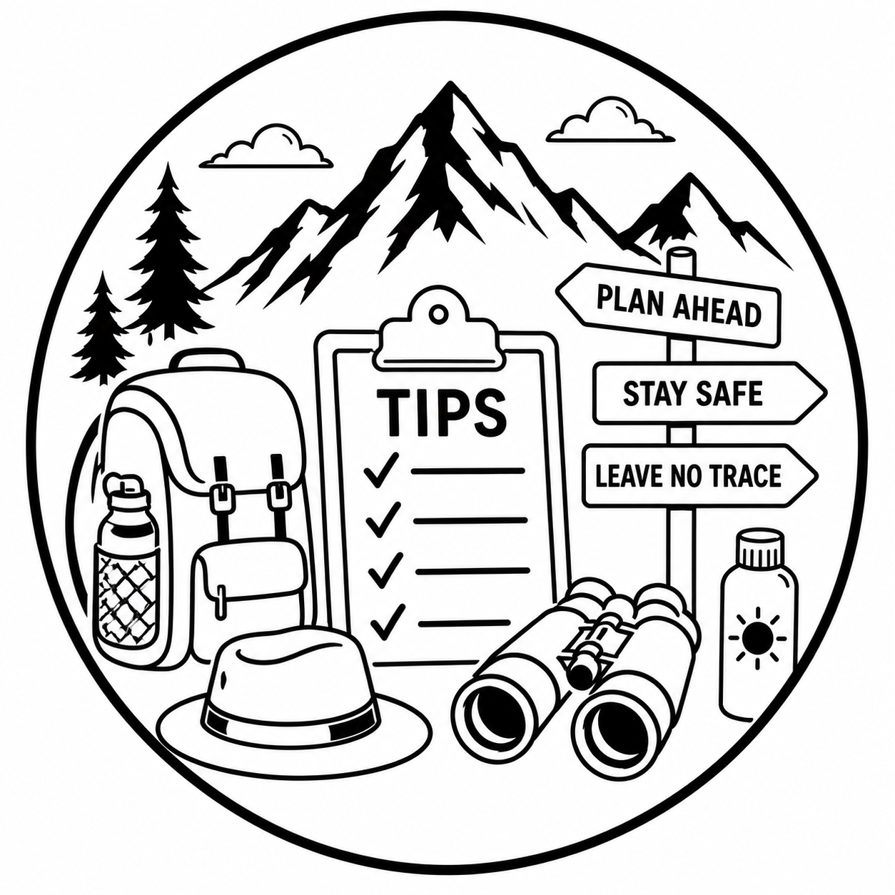
- Carry More Water Than You Think You Need: This cannot be overstated. Dehydration is one of the most serious risks in the park.
- Monitor Your Vehicle: The extreme heat places significant stress on vehicles. Check fuel levels, tires, coolant systems, and overall vehicle condition before entering the park.
- Do Not Depend on Cell Service: Large portions of the park have little or no cellular coverage.
- Avoid Midday Hiking: Particularly from late spring through early fall, hiking during the hottest part of the day can be dangerous.
- Fill Your Fuel Tank: Distances are significant and fuel stations are limited.
- Stay on Established Roads: Remote desert terrain can quickly become hazardous for unprepared travelers.
- Respect the Heat: The park’s reputation as the hottest place in North America is well deserved.
Death Valley National Park challenges many assumptions about what makes a landscape beautiful. At first glance it may appear harsh, barren, and unforgiving. Spend a little time here, however, and a different picture emerges. The colors, textures, silence, and sheer scale of the landscape reveal a remarkable beauty that is unlike anywhere else in the National Park System.
Whether you are standing on the salt flats of Badwater Basin, watching the colors of Artists Palette change in the afternoon light, hiking through Golden Canyon, or looking down from Dante’s View, Death Valley leaves a lasting impression. It is a place that demands respect but rewards preparation with unforgettable experiences. Few parks better demonstrate that some of nature’s most extraordinary landscapes are also its most extreme.


